As experts in the field, we conduct surveys before, during and after each project. For this purpose we have in place a highly experienced and efficient department that conducts individual services.
Hydrographic Survey:
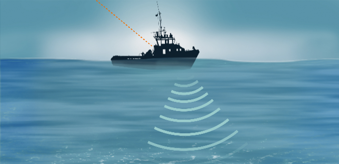
Surveying the seabed before, during and after our projects using the latest sonar equipment mounted on multiple survey vessels to account for different sea conditions.
Side Scan Sonar includes:
Detection of obstructions and other features on the seafloor.
Gathering of seafloor classification data, for e.g. texture and sampling.
Identification of sand-waves and ripples.
Magnetometer Survey includes:
Detection of contrasting levels of magnetic susceptibility, due to the varying iron content in the soil and rock forming minerals.
Interpretation of magnetometry results.
Geophysical Survey:
We conduct a full geophysical Interpretation, as well as analysis and reporting of sub-strata conditions, often supported by supplementary seismic data, maps and onshore borehole data.